
Top cover image: © INTEGRE, SPC
Overview of CBFM
CBFM site-based coverage
Image
| 1 | Coastal community in total | |||
| 0 | Coastal community covered by CBFM | |||
| 0 | CBFM site active* | |||
| Community unit: island. |
Coastal Conservation Areas and Marine Conservation Regulations of the Pitcairn Islands Marine Protected Area
The Pitcairn Islands Marine Protected Area (MPA) encompasses the entire Exclusive Economic Zone (EEZ) and the territorial seas of Pitcairn, Henderson, Ducie and Oeno islands. Coastal Conservation Areas (CCAs) are established within the MPA to allow sustainable management of marine resources. Pitcairn residents are able to participate in the sustainable use and management of the CCAs and can fish in these areas if they hold a fishing permit. They can also fish in the territorial seas around Henderson, Oeno and Ducie Islands without a permit, provided that fishing is for consumption during the period of stay on the relevant island.
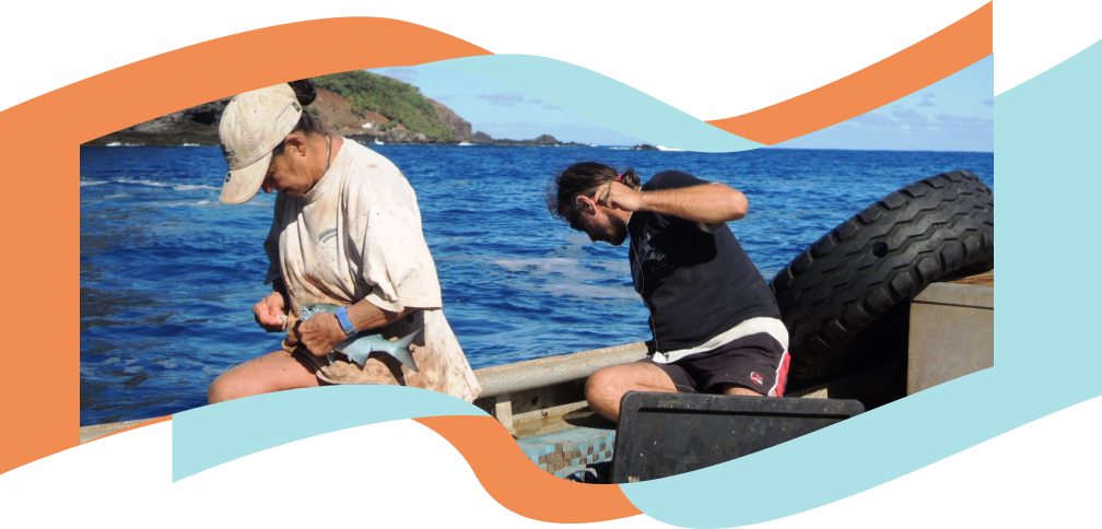
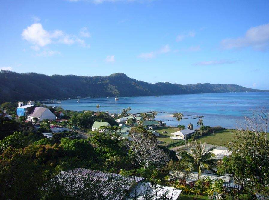
Image: © INTEGRE, SPC
The Marine Protected Area Ordinance provides for the conservation and protection of the marine environment of the Pitcairn Islands. Part V concerns the marine conservation regulations and plans.
- Marine Protected Area Ordinance 2016 -see part V section 15
For further detailed information, visit the legal profile page for Pitcairn Islands on Reeflex.
The MPA management plan aims to protect the marine environment so that present and future generations can benefit.
Main contact(s)
Associated websites
References
- Gillett R. and Lightfoot C. 2002. The contribution of fisheries to the economies of Pacific island countries: a report prepared for the Asian Development Bank, the Forum Fisheries Agency, and the World Bank. Manila: ADB (Pacific studies series). 218 p. https://www.adb.org/sites/default/files/publication/28819/contribution-fisheries.pdf
- Gillett R. 2016. Fisheries in the economies of Pacific Island countries and territories. Noumea, New Caledonia: Pacific Community. 684 p. https://purl.org/spc/digilib/doc/pvyuo
- O’Connor S., D'Andrea A., Recio-Blanco X. and Devez S. 2023. Legal guide to enabling and strengthening coastal fisheries co-management in the Pacific. Noumea, New Caledonia: Pacific Community. 212 p. https://purl.org/spc/digilib/doc/s5b7j
- Pacific Data Hub. 2022. Population Statistics Map, Pitcairn Islands 2022. Population Dashboard, SPC. Available at: https://pacificdata.org/population-dashboard
- Pacific Law and Policy Database on Coastal Fisheries and Aquaculture (Reeflex) - https://www.spc.int/CoastalFisheries/Legislation/main
- The Pitcairn Islands Marine Protected Area Management Plan 2021 to 2026. Available at: https://www.government.pn/environment.php
CBFM site-based coverage references
- Govan H. and Lalavanua W. 2022. Status of Community-based Fisheries Management in Pacific Islands Countries and Territories: survey report. Noumea, New Caledonia: Pacific Community. 70 p. https://purl.org/spc/digilib/doc/H_uNgzxUo7kB36r